
(2015, University of Strathclyde, MArch Advanced Architecture Thesis, Semester 1)
“VACANT SITES ARE THE SPACES OF THE FUTURE”
WHY TEMPORARY USE:
Berlin urbanists understand vacant sites as a wealth, the training ground and experimental zone for the future city.
Glasgow has twice as much D&V land as the whole Scotland together. 42% of derelict land is in deprived zones. Deprivation is the highest in Glasgow among all Scottish cities. It came together with sudden deindustrialization and closure of the factories which were the main source of jobs.
Municipal has set the goal to treat and release the development potential of at least 100 ha of vacant land every year employing innovative approaches, such as setting up programmes and funding to support community and individual initiatives towards vacant and derelict land use.
We see temporary use as an integrative part of urban planning. D&V land laying underused for many years could become the test bed or play space for young people, communities or address environmental issues: such as reduce air or land pollution, deal with flood risk management or become a place for solar energy.
Also many creative minds living in a world of commercialism and profit are trying nevertheless to create spaces that reflects and nurture their vision of the future.
Derelict and vacant land is also a concern for property owners. The undiscovered district, the dead end on the urban landscape, the blind spot in public perception might all in fact be set in motion, brought to the light of day by (temporary) use.
Open spaces create barriers between neighborhoods. Reintegrating such spaces in the city, creating paths between them, reconnecting disparate urban spaces is something that projects by creative urban mileus can actively promote.
We believe in experimentation and searching for new forms of reanimating and appropriating spaces.
This is the first journal of two which looks at the problem, scale and scope in relation to D&V land location. In the next journal the systematic design approach is introduced which seeks to create social corridors through temporary use.
Second part of the book concentrates on 5 priority zones for reuse of D&V land. Sites marked as a D&V are taken and analyzed separately in order to measure their potential
Authors: Paulina Naruseviciute, Laura Petruskeviciute/Tutor: Dr Cristian Suau

WOW (Workshop On Water): REMEDIATING VACANT LANDSCAPES
(2015, University of Strathclyde, MArch Advanced Architecture Thesis, Semester 2)
WOW (Workshop On Water) is an instrument to reactivate vacant and derelict land, the school which plants a seed for temporary architecture culture in Glasgow.
The starting point of the WOW is Forth & Clyde canal(Glasgow Branch) which previously was highly industrial and now there are vast areas of the land left vacant. Water allows the school move freely from one place to another in order to activate bigger area faster. WOW units sit on the canal based on intensive functional uses in the area and their influence zones defined according to Voronoi diagram. The usage influence zone, topographical conditions and accessibility defines units’ locations (stop points) on the canal. The units structure is based on modular pieces which are easy to construct and can be prefabricated off site. This allows WoW to work in other cities and countries too. The facade can be picked from the facade library- Harvest Map. Facade materials are recyclables and upcycled waste or industrial products.
For WoW to work in full power and programme the digital management and control system is created which allows people to book units for certain events as well as feed in information about available physical and digital resources and existing collaborative networks.
The report presents our Master Thesis and gives detail overview of the project and research.
Authors: Paulina Naruseviciute, Laura Petruskeviciute/Tutor: Dr Cristian Suau

a digital tool to allow people to see the available cheap or free materials in the area which could be reused, upcycled in order to encourage people use them for temporary space activation projects.
Harvest map is an urban tool which shows available sources in a proximity of a planned construction site. However, we consider that harvest map could become a tool for every citizen enabling them to manipulate their environment in vacant and derelict sites around Glasgow. To achieve that, it is important to track not only materials or energy flows, but also existing networks and collaborations as well as previous use of site. Multilayering of different information would enable its users to create not only the most efficient decisions while sourcing their project, but also to create socially sustainable and attractive projects while connecting back to existing networks.
It aims to indicate :
- vacant & derelict sites( in 5 priority zones only)
- previous use of site
- land ownership
- available materials network
- existing networks/possible collaborators
It is a dynamic data base which is changing with urban environment and conditions. Ideally the web platform should be accessiblefor various groups of people to add informationwhile expanding the overall network.
Harvest Map ' Glasgow Commons' is a part of 5th year architectural thesis project by Laura Petruskeviciute and Paulina Naruseviciute.
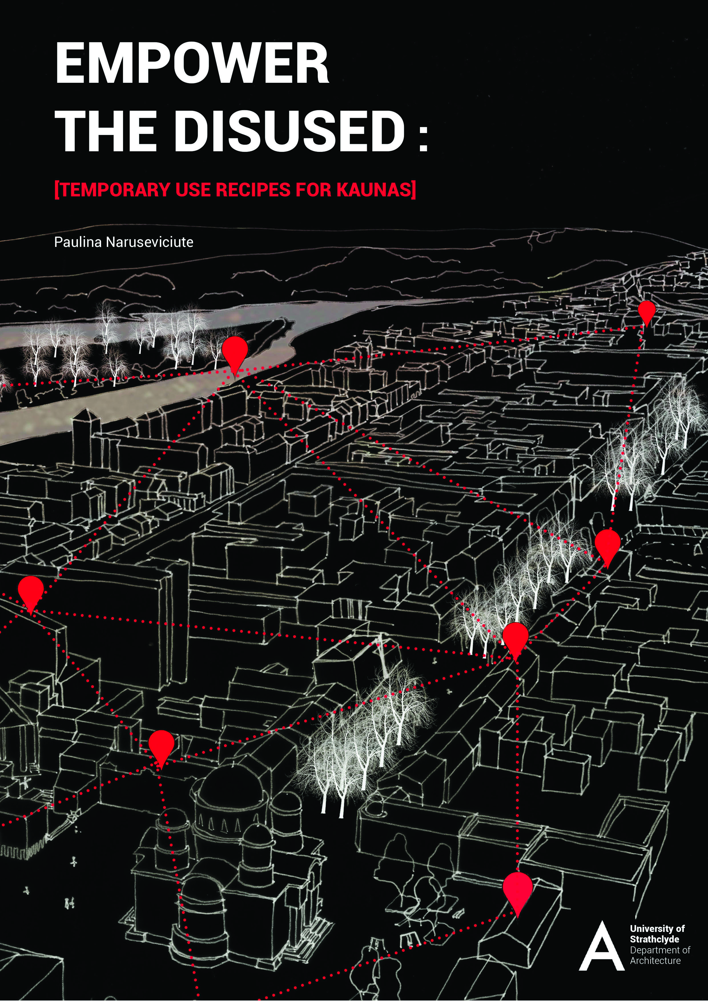
EMPOWER THE DISUSED: [TEMPORARY USE RECIPES FOR KAUNAS]
(2013, University of Strathclyde, BSc Architecture Dissertation)
Kaunas is the second largest city in Lithuania. Due to its central geographical location, the city became an important industrial, cultural and transport hub. Since the collapse of the Soviet Union, Kaunas has suffered the effects of privatisation and deindustrialisation. The latter influenced the closure of its factories and left large swathes of land unused. The arrival of shopping malls, took away much of the business from Kaunas’ main street- Liberty Avenue.
Temporary use as a tool to catalyse urban development was picked based on the success of examples throughout Europe. In the 21st century many European urban planning authorities are facing the same issues and encountering difficulties in their work to revitalize and redevelop areas affected by industrial restructuring. Therefore, they tend more often to consider temporary use as the way to regenerate derelict sites and abandoned spaces within the city. Berlin and Amsterdam are exemplary cities which have introduced temporary planning to planning legislation authorities already and are trying to make them work together. Local governments of many cities in the UK have started to open up possibilities for more loose planning visions and design frameworks which bring prospects for new businesses and creative milieus to evolve.
This dissertation consists of three chapters which will help to depict the advantages and development of interim use and flexible planning. The first chapter will introduce the reader to the urban problems which prevent interim use in Kaunas and define typologies of disused spaces. The following chapters aim to describe and define the design tactics for temporary use derived from 1960s utopias and evaluate the systematic strategies used to connect and reactivate disused spaces.
The final chapter provides recommendations for what Kaunas could learn from existing case studies as well as how other cities make use of disused space for their benefit and what is important in order to implement temporary use successfully. Furthermore, this chapter indicates the operational system of “the temporary business” in the city and its incorporation methods within the certain areas .
Overall, this research proves that collaboration among all parties is essential and that the 21st century challenges the very role of architects, politicians and citizens .
Author: Paulina Naruseviciute / Supervisor: Dr Cristian Suau

(2015, University of Strathclyde)
“Cinema pneumatica” is a mobile inflatable pavilion where people instead of watching a movie in a conventional manner becomes the scene of the cinematic spectacle. There are multiple projection surfaces with different textures and material properties whichallows the images to materialize in many layers. Furthermore, bodies of the visitors interact with light and projectionscreating constantly changing patterns and scenarios.
Cinema PNEUMATICA is the project about air, light and motion in architecture. In architecture which leaves a static presence and permanence behind. We are interested in spaces and places which trigger emotions and leave room for imagination. Vacant and derelict spaces are one of those. Those spaces are in absence and absence is the moment when imagination can be expanded. Therefore, the pavilion is situated on the ‘forgotten’ land and invites to celebrate the vacant space, the moment and the unexpected temporary encounter. We seek to create a situation of enstrangement as well as to provide a soft and adventurous space to experience individual psychogeographies. Emotions here are stimulated through sound, light and kinetic movement.
Here you can also find instructions how to make “Cinema Pneumatica” with the budget of just £200.
Authors: Paulina Naruseviciute, Laura Petruskeviciute/Tutor: Dr Cristian Suau

(2012, TU Berlin)
5th ring as low carbon incubator
Prototype “ Rice Industry Hub” is a device for connecting multiple components into systems together and making them act as a single network segment.It is an organizational system for balancing urban and agricultural land. An increasing problem in Chengdu is a significant contrast of agricultural and urban areas. In addition to this, agricultural area became uncontrollable space which is more and more often occupied by industrial and residential buildings. It leaves no space for traditional idea of being in harmony with nature in living environment.
After research it appeared that agricultural land in 5th ring is mostly occupied by rice paddies. Rice straw waste could be recycled in a different ways to get eco products. You can get food, building materials and energy. Prototype “ Rice Industry Hub” increases profit of agricultural land makes it enjoyable as well as controllable. Also disappearance of the farmland will have an impact to the future food production as the population is growing there will be more import which means more co2 emission and increased food prices.
The booklet presents the process and research done during urban design class 'Chengdu-Smart City". Group research Chengdu- Smart City: 5th ring as low carbon incubator can be found here.
Author: Paulina Naruseviciute,Laura Petruskeviciute, Huang Zhen/ Professor. Raoul Bunschoten
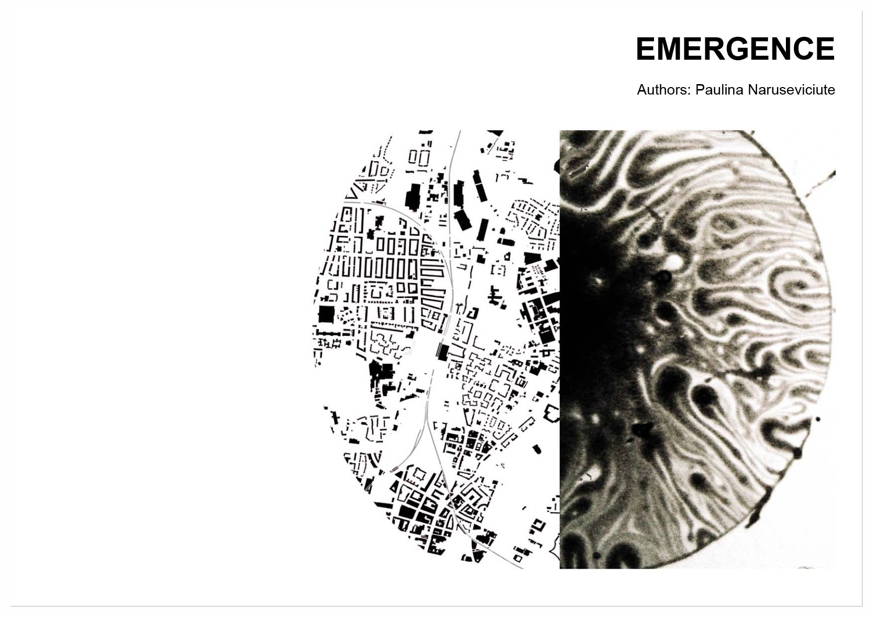
(2012, TU Berlin)
Cybernetics is a broad field of study which analyses how digital, mechanical or biological processes' information reacts to information or changes and how it could be modified and improved. One of the concepts of cybernetics is emergence. The report summarises the research done over the seminar series ' Cybernetics in Urbanism " while studying in TU Berlin. It explains concept of emergence and looks how emergence has been adapted and benefited architecture.
Author: Paulina Naruseviciute/Professor. Raoul Bunschoten